Thursday, September 26, 2013

Yellowstone revisited - blueish and yellowy

The Yellowstone post that got forgotten...

blu&yellow-2
blu&yellow-4
blu&yellow-3
blu&yellow

Read more...

Tuesday, September 24, 2013

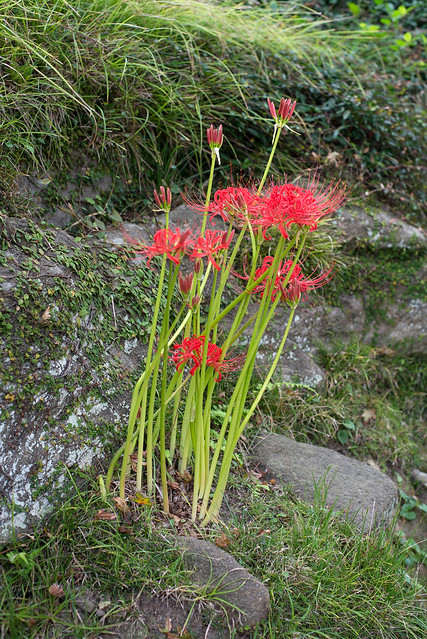
Equinox alternatives

We (and, therefore, you) have seen white higanabana before, but yellow was new for us. This was one of several clumps found in Kita Kamakura.

higanbana-4

Read more...

Monday, September 23, 2013

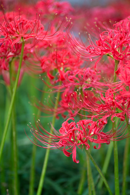
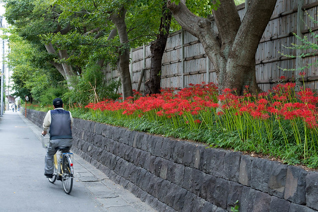
Happy Equinox Lily Day

While not quite the equinox, today is the equinox national holiday. This year the equinox lilies (higanbana) are being very obedient, having sprung up from nothing over the last couple of days.

higanbana
higanbana-3
higanbana-2

Read more...

Thursday, September 19, 2013

Rain...

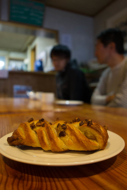
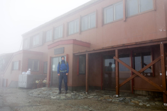
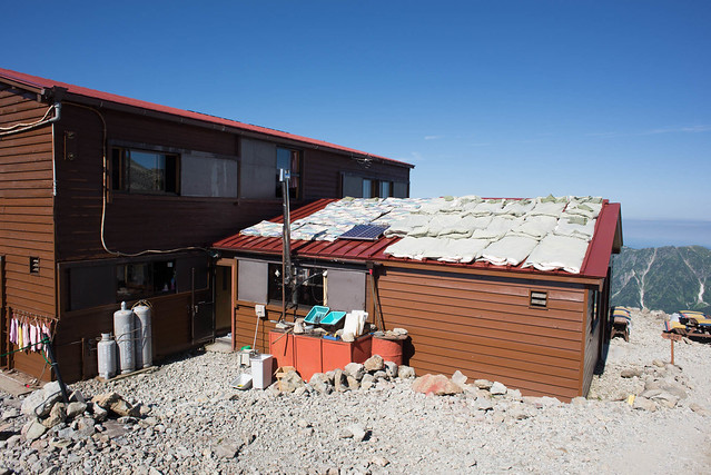
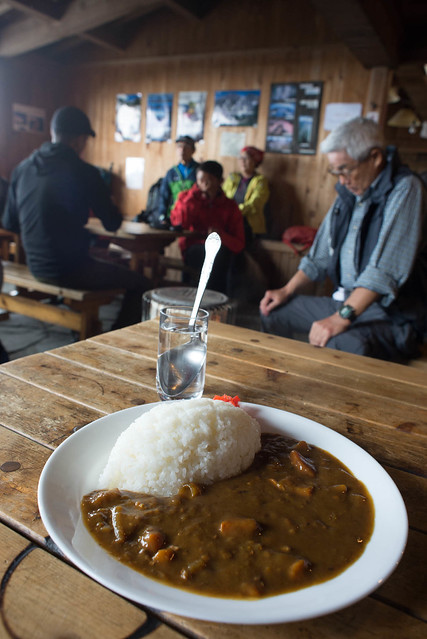
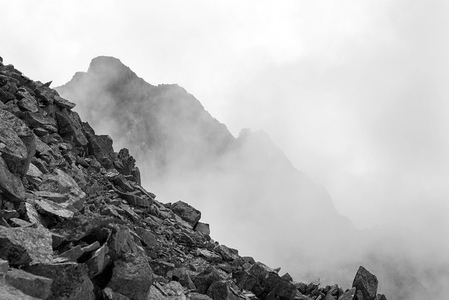
We had originally hoped for a week in the mountains, but the weather forecast was now for 3 more days of solid rain, and this time we both believed it (and it turned out to be correct). The wind and rain were rattling the walls of the hut so the decision to descend was easily made.

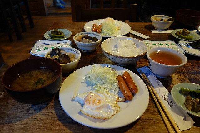
As we were trussing ourselves up in plastic, an announcement was made to the effect of the bread being ready. At first we had no idea what this meant, but then James remembered the time we had arrived at this same hut at about 11am, and had marvelled at the existence of a maple pecan danish pastry at the little eatery. Off he charged, rucksack and goretex flapping, and nabbed just about the last one, along with a cup of coffee. With little incentive to head off into the rain we enjoyed this delicious second breakfast, somewhat horrified at how horrible it made the first breakfast that we'd consumed 30 minutes previously seem (I can't remember precisely but that first breakfast was probably seaweed, rice, soup, a handful for beans, a sliver of fish, salt, salt and some more salt with green tea to wash it down).

Maple pecan danish, freshly baked
Then it was off into the rain, which varied between light drizzle and so heavy that it felt like hail piercing our goretexes.
Yari hut in the cloud
We overtook many on the way down, feeling smug that we had not only enjoyed one more maple danish than them but also an hour less of rain. Once down the nice steep mountain it is a bit of a trudge along the valley to Kamikochi,
Asuza
but at least the wildlife was fitting to the conditions.
frog
fungus
Got the bus out around 3pm and three or four trains later we were home, at about 10pm.

Read more...

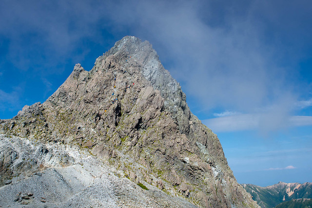
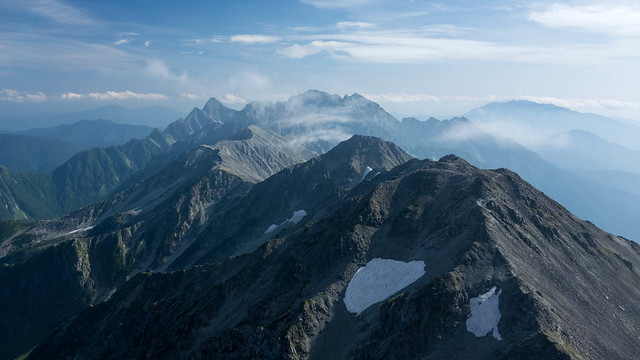
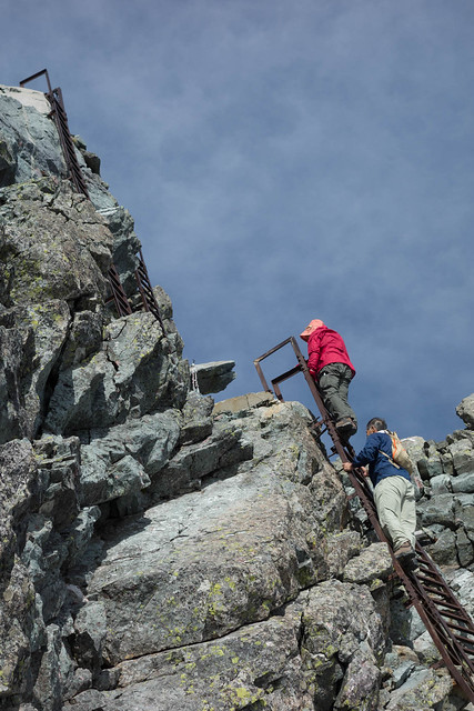
Wednesday, September 18, 2013

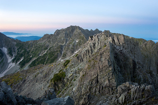
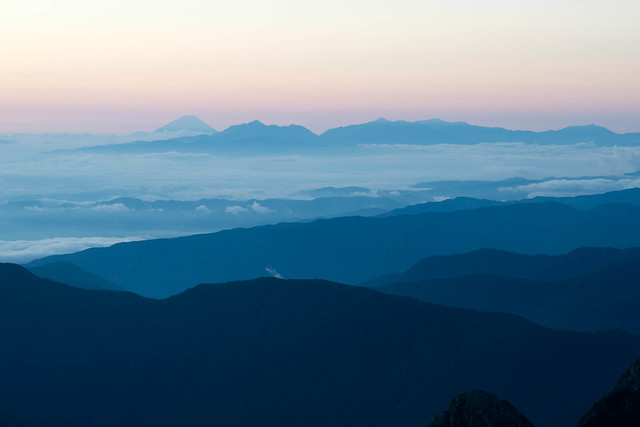
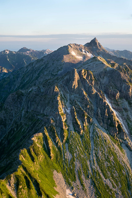
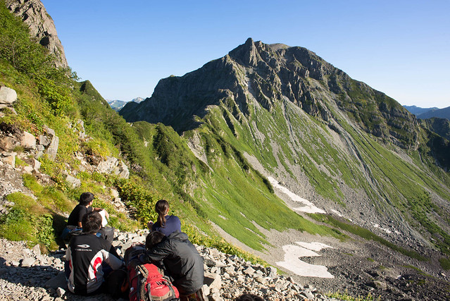
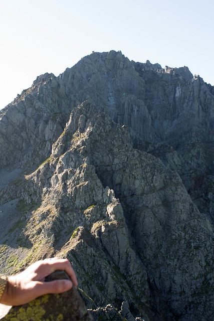
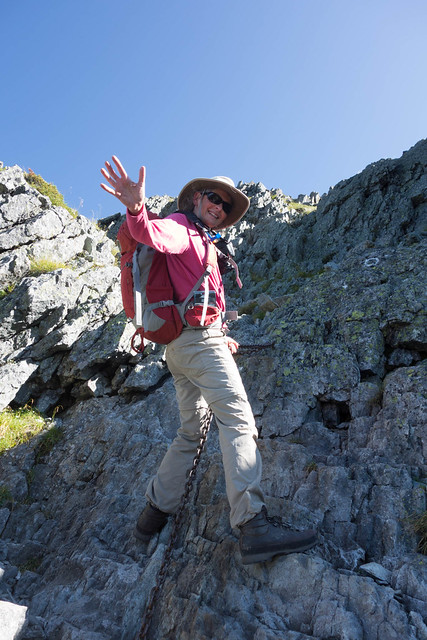
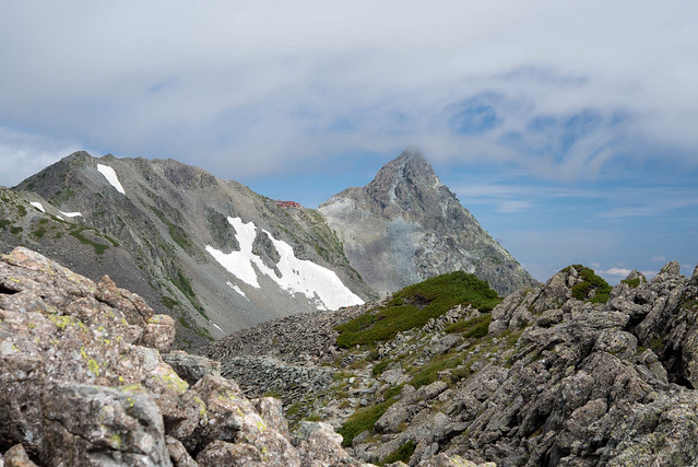
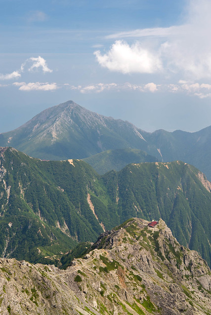
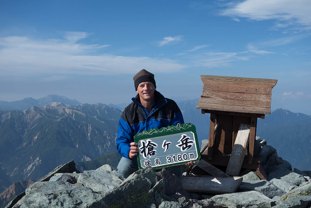
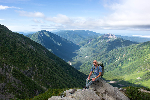
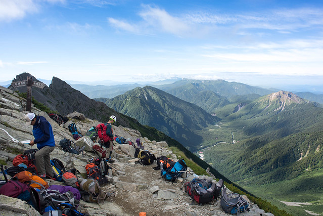
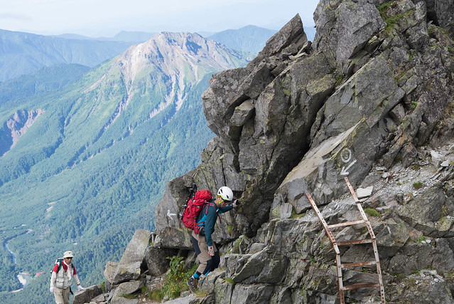
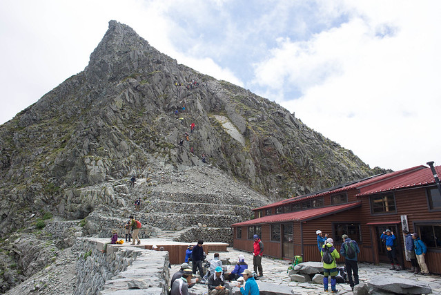
Kita Ho -> Yarigatake

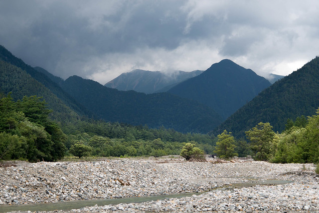
The afternoon map studying the day before was due to the weather forecast which, for the last 2 days, had been consistently predicting rain in 18 hours time. Thus it appeared we would have an early morning of sunshine to tackle the daikiretto before the rain set in later in the day. Like a certain Japanese professor's record of predicting 10 of the last 3 El NiƱo events, this time we may recall the forecast as being accurate.

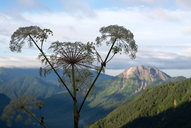
There was a bit of cloud on the horizon so the sunrise wasn't actually sunny. This is back along the way we had walked the day before, with a sneaky illegal camper now revealed in the dawn light.

sunrise
Spot Fuji-san!
Fuji-san at sunrise
The Kita Ho breakfast has not changed in the last decade. It is James' favourite hut breakfast. Well it is James' favourite hut all round. But don't get too excited, the eggs and sausages are luke warm at best, if you're lucky.
Traditional Kita-Ho breakfast
After breakfast, the sun was up at last, lighting our route for the day ahead. I sent this photo to my Dad who remarked that the Daikiretto is the Striding Edge of Japan. While I can see the point of view, and people do also manage to die on both bits of mountain, I feel there is perhaps a slight mismatch in scale.
Daikireto and Yari from Kita-Ho hut
The descent starts straight out of the hut with 350m straight down.
Daikireto
I wouldn't want to do it in wind, rain and ice, but this bit seems to be getting easier and easier. We were wondering whether the rocks had tilted to make it less vertical.
Daikireto
At the first col we all stop to admire the view. Just past here, there was a disconcerting stretch (approximately where the three red death spots are on this map), where pale patches of newly exposed rock indicated where previously apparently secure handholds had been last time we passed by.
Daikireto
Daikireto
The Kita Ho hut where we had spent the night, is visible in the next photo, sticking out just below and left of the summit.
Kita Ho hut on the ridge!!
The other side is, I think, the easier, as it is so steep that there are more ladders,
Daikireto
and chains.
Daikireto
Up on the other side is a little hut, where we enjoyed some instant coffee and hand knitted donuts. That is the bedding being aired on the roof.
Hut on the other side...
At this point James the climatologist predicted a sunny afternoon. However, jules, the other climatologist, was less optimistic and said she would photograph the Yarigatake peak with some cloud swirling in. She didn't have to wait long.
Yari
We arrived at the Yari hut in the cloud, but rather than turn straight to rain the cloud came and went for a few hours, offering some views..
Jounendake
..and eventually enough clarity to encourage us to run to the top.
Yari summit
James on Yari summit
Looking back towards OkuHotaka
View towards Hotakadake from Yari summit
Many Japanese take up hillwalking in their retirement. By the time they get into their 70s they are as slow as snails. But on the other hand it is amazing that they are there up at 3000m at all. Here are some grockeling to the top of Yari at zero mph.
grockel on Yari
Soon after we returned to the hut, the rain started hammering down.

Read more...

Tuesday, September 17, 2013
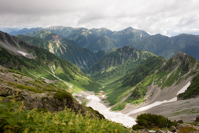
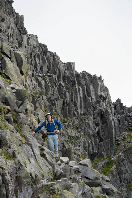
Hotakadake

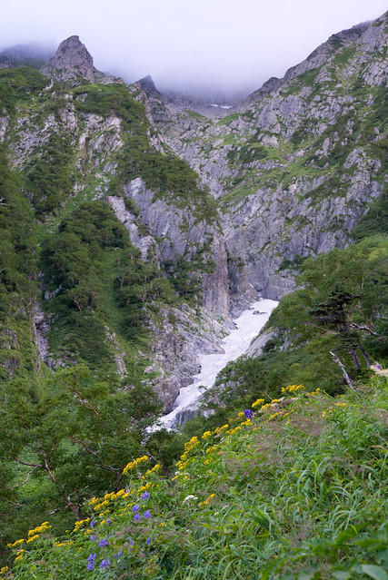
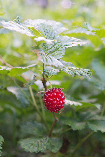
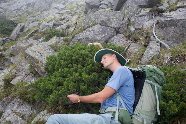
After a night at the rebuilt Dakezawa hut (not quite as nice as the old one, but that was destroyed by an avalanche) the goal of the next day was Hotakadake. The journey starts with meadows of flowers. It is a while since we have walked in late August, which made for a different array of plant life.

Climbing Hotaka
It was quite difficult to stop James from feasting on these possibly raspberries(?) I told him to leave them for the bears, which seemed to have the desired effect.
Raspberry?
There were giant triffids too.
Climbing Hotaka
But we survived them all. As the trail got steeper, the vegetation got less exciting but the views improved. Kamikochi is down there in the valley.
Climbing Hotaka
Usually it is cloudy when we are up there, or we are too busy or something, but this time we decided to take the out and back up MaeHotakadake. Most people abandon their rucksacks at the junction.
Climbing Hotaka
The steeper and rockier it gets the more we destroy the times printed on the maps.
Climbing Hotaka
A hop and a skip later we were on the top. But it was cloudy so didn't stop for long. We retraced our steps, picked up our rucksacks and carried on up to the highest peak, OkuHotakadake. Until it got cloudy again, the views were excellent. This view is "the other side of the mountain", down to Karasawa, not Kamikochi.
Karasawa curl
We were still early so there was time for some hugging of the haimatsu (the creeping pine that is prevalent around 2500-2800m).
treehugger
The top (about 3190m) was busy as Shinjuku station (well - actually not quite!) and, as usual, it was in cloud, so again we barely paused.
Hotakadake summit
Ten minutes down from the summit is a very busy hut which mostly serves people walking up from Karasawa. The view looks back towards OkuHotaka, although the peak is not visible.
Okuhotaka hut
Curry rice was enjoyed.
Curry rice at Hodaka sanso
After lunch we set off up Karasawa Dake and then on to Kita Hotaka. OkuHotaka peak is a massive wall of rock. It was now behind us but occasionally visible. However it is very camera shy,
Okuhotakadake summit!
but James among the rocky rockness sets the right tone for this part of the day.
James and rocks
Flowers and the gendarmes...
flowers and gendarmes
We got to Kita Ho hut around 2pm and wiled away the afternoon with happy hutting.
Happy hutting
This hut is perched 1 minute walk from the top of Kita Hotaka at about 3100m. It has no water supply apart from rain water and that brought by helicopter. But some how it had half a pig and red wine, which made for a surprisingly pleasant end to the day.
parma ham
Very happy hitting!

Read more...

Monday, September 16, 2013
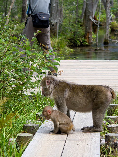
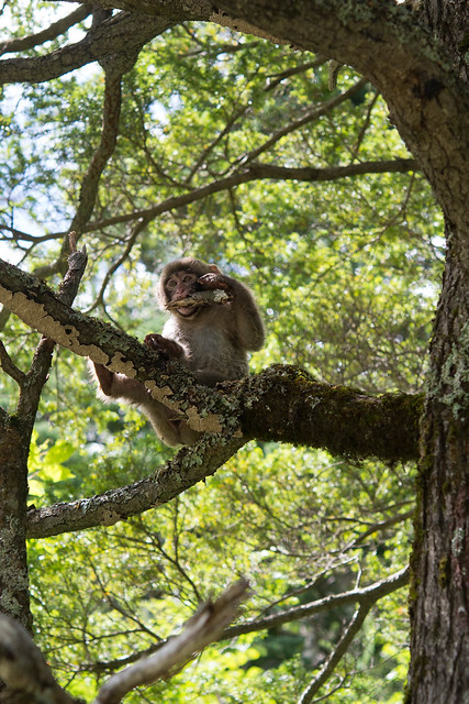
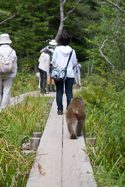
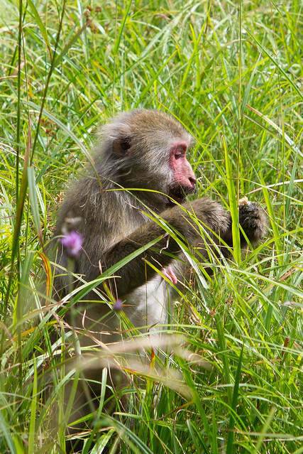
Mountain monkeys

Navigating the trains to the mountains is easy. You know you are going the right way when you find the rail carriage in which almost everyone has a rucksack.

Matsumoto to Shin Shima Shima
A last decent meal of a delicious Kamkikochi croc is a necessity for all mountain bound rucksack bearers.
Kamkikochi crock!
The view at Kamikochi is always nice, but while James (who is a climate scientist so surely ought to know!?) had promised a week of sunshine, the 3000m ridge was hidden by wet looking cloud.
Kamikochi
This smaller hill, slightly removed from the main ridge, was clear. Perhaps all was not lost.
kamikochi
Around one side of the nature walk at Kamkikochi, the surface is soft and boggy. The boardwalks make access to the mud, bog plants and tree climbing fun easy for the monkeys (Japanese macaque, Macaca fuscata). People and monkeys share the boardwalk harmoniously. According to some literature we saw, it is seen a a problem that the monkeys have lost their fear of people. I can't see why. I think it is a testament to the consistent respectful nature of the Japanese citizen. No one tries to touch, scare, tease or feed the monkeys. People just take photos of them. No wonder the monkeys have no fear - they have nothing to fear!
monkeys
monkey
boardwalk monkey
monkey
Halfway round the nature trail we veered up the mountains, leaving the Kamikochi day-trippers behind. Rucksacks only from here on.
sunset

Read more...

Search This Blog

Dreamstime microstock

Royalty Free Images

About This Blog

A picture is worth a thousand words... right?

free counters


The Women's Conference

Promote Your Page Too

Blog Archive

Followers

coolphotoblogsMy profile

  © Free Blogger Templates Photoblog III by Ourblogtemplates.com 2008

Back to TOP